
Texas Science Teacher Resource Hub
Free scope and sequences, TEKS breakdowns, phenomenon ideas, and engagement activities for the 2024 Texas science standards.

🚀 Jump to Your Grade
Pick your grade level and go straight to your TEKS standards, aligned resources, and teaching tools.
-
4th
→4th Grade Science20 standards • Matter, Earth, Energy & more
-
5th
→5th Grade Science19 standards • Matter, Ecosystems, Space & more
-
6th
→6th Grade Science24 standards • Forces, Energy, Matter & more
-
7th
→7th Grade Science27 standards • Cells, Chemistry, Earth & more
-
8th
→8th Grade Science24 standards • Newton's Laws, Space, Genetics & more
7th Grade TEKS Standards
Click any standard to see what it means, how to teach it, where students get stuck, and aligned resources.
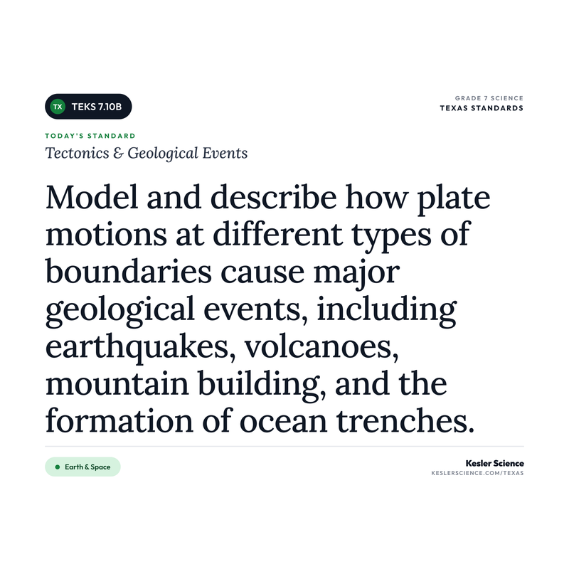
Tectonics & Geological Events
"Describe how plate tectonics causes ocean basin formation, earthquakes, mountain building, and volcanic eruptions, including supervolcanoes and hot spots."
💡 What This Standard Actually Means
"Describe". Students are describing how plate tectonics drives four big geological events: ocean basin formation, earthquakes, mountain building, and volcanic eruptions. The new TEKS pulls in two specific extras kids need to know about: supervolcanoes and hot spots. The old standard talked about plate boundaries and trenches. The new one shifts the focus toward the major events themselves and adds the volcanic specialty cases. Instruction can take many forms, such as plate boundary mapping, hot spot tracking activities (Hawaii, Yellowstone), supervolcano case studies, and fault zone analysis.
Earth's outer shell (the lithosphere) is broken into large pieces called tectonic plates. These plates ride on top of hotter rock that is mostly solid but flows very slowly (more like hot asphalt than lava), and they move just a few centimeters per year. Where plates meet, push, pull, or grind past each other, big things happen. The 2024 TEKS focuses on four specific outcomes of plate motion plus two volcanic extras.
Ocean basin formation happens at divergent boundaries, where two plates pull apart. Magma rises into the gap, cools, and creates new ocean floor. The Mid-Atlantic Ridge is the classic example. As the plates spread, the ocean basin gets wider over millions of years. Earthquakes happen at all three boundary types (divergent, convergent, and transform) when stress builds up between plates and suddenly releases. The San Andreas Fault in California is a famous transform-boundary example. Mountain building happens at convergent boundaries where two plates collide. The Himalayas are still rising today because the Indian plate is pushing into the Eurasian plate. Volcanic eruptions happen mainly at convergent boundaries (where one plate sinks under another and melts) and divergent boundaries (where new magma rises through the gap). The Cascade volcanoes in Washington and Oregon are convergent. Iceland sits on a divergent ridge.
The two newer additions in this TEKS are supervolcanoes and hot spots. A hot spot is a fixed plume of magma that rises up through a plate from deep in the mantle, regardless of plate boundaries. As the plate moves over the hot spot, a chain of volcanoes forms. Hawaii is the textbook example. The Hawaiian Islands are basically a trail of volcanoes left behind as the Pacific plate slid northwest over a stationary hot spot. A supervolcano is a volcano capable of an enormous eruption, thousands of times more powerful than a typical volcano, with effects that reach across continents. Yellowstone sits on a hot spot and is a supervolcano. Its last full eruption was hundreds of thousands of years ago, but the system is still active. Students should walk away able to connect each of the six items in this standard back to plate motion.
The move that worked for me on this one was graham crackers and frosting. I'd give each pair two graham cracker halves and a dollop of frosting on a paper plate. Push the crackers apart on top of the frosting and you see a divergent boundary. Push them together and one rides up while one dives under. Slide them past each other and you feel the jerky "earthquake" stick and release. It takes about ten minutes, it's food, and every kid gets to DO the boundary instead of just label a diagram. After that, when I'd ask "what kind of boundary makes the Himalayas?" the answer came back fast because their hands remembered it.
⚠️ Misconceptions Your Students May Have
These are some of the most common misconceptions. Knowing what to look for can help you get ahead of them.
"Earthquakes and volcanoes are basically the same thing"
Both show up at plate boundaries, but they're different events with different mechanisms. An earthquake is the sudden release of stored stress when rock along a fault finally slips. A volcano is magma from below rising through cracks and erupting at the surface. They can happen in the same region, but one is about rock breaking, the other is about molten rock moving.
"The San Andreas Fault is where two plates crash into each other"
The San Andreas is a transform boundary, not a convergent one. The Pacific Plate and the North American Plate are sliding past each other horizontally, not colliding head-on. That sliding motion is what builds up stress and produces California's earthquakes. Transform boundaries don't typically create volcanoes or mountain ranges, which is a clue students can use when sorting boundary types.
"Plates float on a liquid layer of magma"
The layer below the plates (the asthenosphere) is mostly solid rock that flows very slowly, more like hot asphalt than lava. Only small pockets of actual molten rock exist under most of the plates, usually where magma is on its way to the surface at a volcano. Students often picture plates as boats on an ocean of lava, which is a useful starting image but not what's actually happening.
"All volcanoes form at the edges of plates"
Most volcanoes do form at plate boundaries, but not all of them. Hot spots are stationary plumes of hot magma rising from deep inside Earth that punch through the middle of a plate, not at its edges. The Hawaiian Islands sit on a hot spot in the middle of the Pacific Plate, far from any boundary. Yellowstone sits on a different hot spot in the middle of the North American Plate, and that one fuels a supervolcano. Hot spots are why volcanoes can show up where students don't expect them.
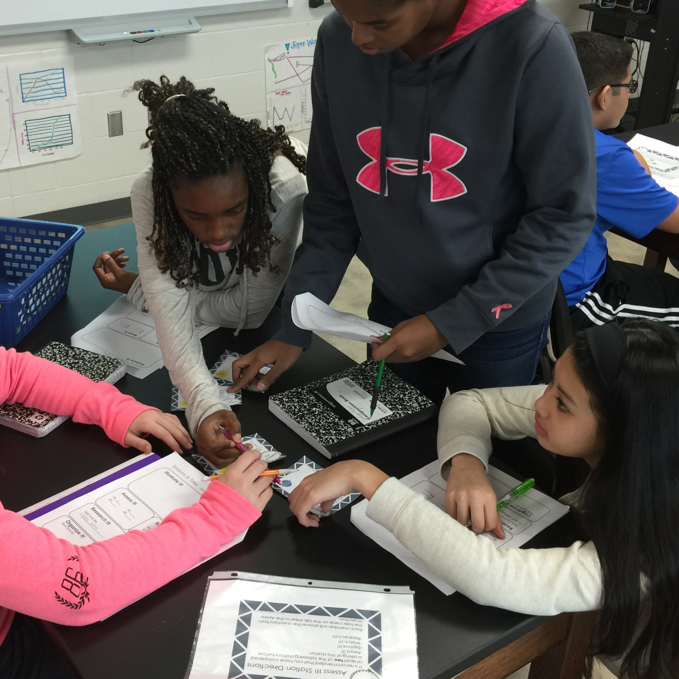
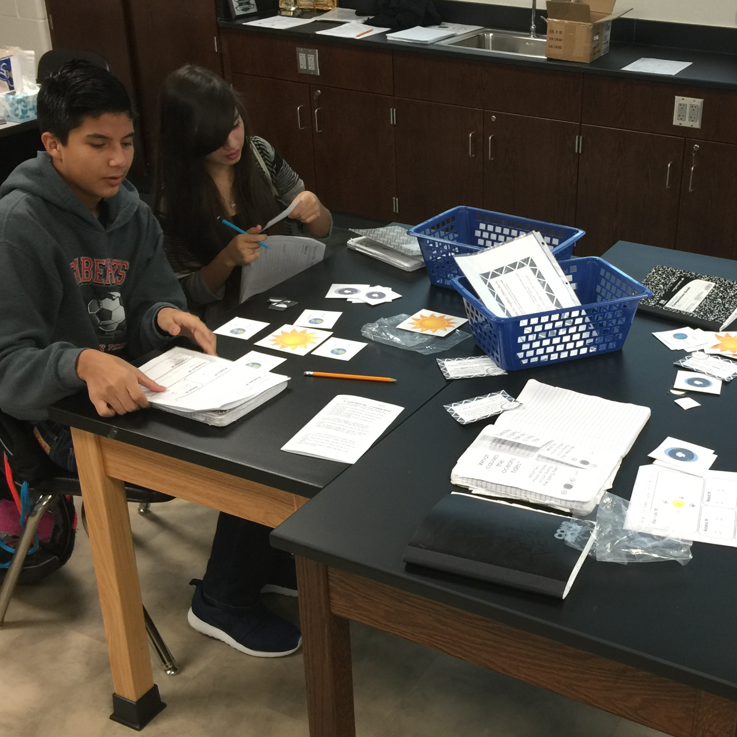
📓 Teaching Resources for 7.10B
These resources are aligned to this standard.


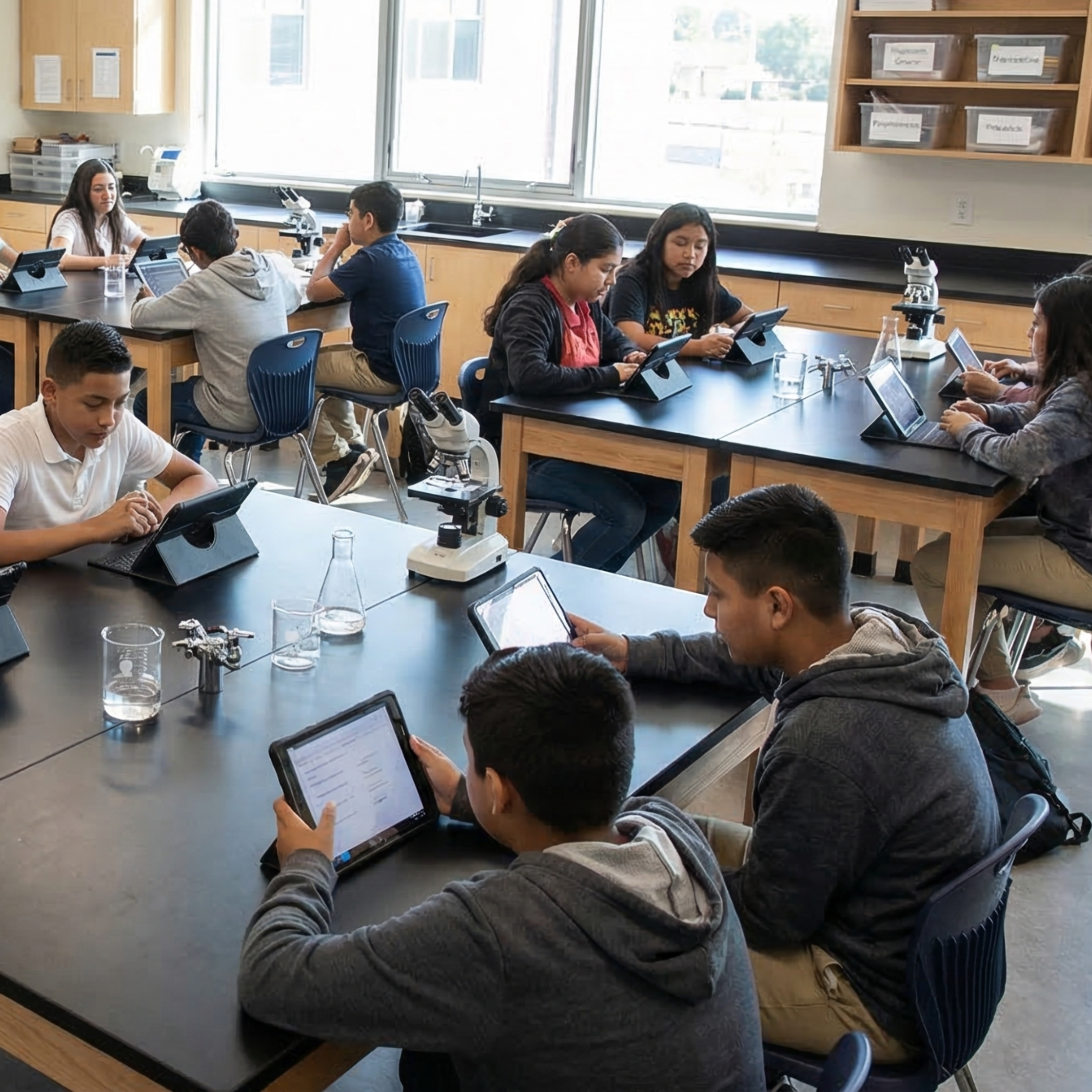
100% Aligned Lessons for Every TEKS You Teach
The membership gives you access to thousands of lessons and activities designed to boost student engagement and reclaim valuable teaching time. Trusted by schools and districts all over the great state of Texas.
🌎 Phenomenon Ideas for 7.10B
Use these real-world phenomena to anchor your lesson. Show students the phenomenon first, let them wonder, then build toward Tectonics & Geological Events as the explanation.
Mount Everest Keeps Growing
Mount Everest is the tallest mountain on Earth, over 29,000 feet above sea level. GPS measurements show it grows taller by about 4 millimeters every year. That might sound small, but it adds up to about 4 meters every 1,000 years. The Himalayan range is still rising, and it formed because two massive plates collided roughly 50 million years ago and haven't stopped pushing.
"If Everest is getting taller every year, that means something is still pushing it up. What could be pushing hard enough to lift an entire mountain range, and where would that force come from?"
The Pacific Ring of Fire
If you map every major volcano and earthquake on Earth, you'd see something strange. They are not scattered randomly. They trace a ring around the edges of the Pacific Ocean, from New Zealand up through Japan, across Alaska, and down the west coasts of North and South America. This pattern is called the Ring of Fire, and it's home to about 75 percent of the world's active volcanoes.
"If volcanoes and earthquakes happened at random, they would be everywhere. Instead, they line up in rings and belts. What does this clustering pattern suggest about what's going on underneath the surface?"
Iceland Is Splitting in Half
In Iceland at a place called Thingvellir, visitors can walk through a rift valley where two massive plates are visibly pulling apart, about 2 centimeters a year. The North American Plate is on one side, the Eurasian Plate on the other. The country sits directly on the Mid-Atlantic Ridge, and new crust is forming between the plates as they separate. Iceland is one of the few places on land where you can literally stand between two continents.
"If the plates under Iceland are pulling apart, what kind of new rock would form in the gap between them? What would happen to the island if this kept going for millions more years?"
💡 Free Engagement Ideas for 7.10B
Graham Cracker Plate Boundaries
Place two graham cracker halves side by side on top of a dollop of frosting on a paper plate. Push them apart (divergent), push them together (convergent, with one riding up and one diving under), and slide them past each other (transform). Kids feel each boundary type in about ten minutes and can draw what they observed.
Hot Spot Trail Plot
Give each group a map of the Hawaiian Islands stretching out into the Emperor Seamount chain, with each island and seamount labeled with its age (the youngest at the southeast end, the oldest at the far northwest end). Students plot the islands and ask: why is there a line of volcanoes getting older the farther away you get from Kilauea? The answer is that the Pacific Plate has been sliding northwest over a stationary hot spot for tens of millions of years, leaving a trail of volcanoes behind. Then have students compare it to the Yellowstone hot spot trail across Idaho into Wyoming. Same idea on land, with a supervolcano sitting at the active end.
Rubber Band & Block Earthquake
Loop a rubber band through a hole in a small wooden block. Pull the rubber band slowly across a sandpaper-covered surface. The block sticks, stress builds in the rubber band, then the block suddenly slips forward. That stick-slip pattern models exactly how stress builds and releases at a fault. Measure how far the block jumps each time.
Paper Towel Mountain Build
Stack four or five paper towels flat on a desk. Place your palms on opposite ends and push the stack toward the center. The towels crumple upward into folds and peaks. That's a mini convergent boundary producing mountain building. Students can draw the before-and-after and compare to photos of the Himalayas or Appalachians.
🎯 What Approaches, Meets, and Masters Thinking Look Like
Here is what student thinking at each level looks like on this one task, so you know what to look for and how to move a student up.
The Hawaiian Islands form a long, straight chain in the middle of the Pacific Plate, far from any plate boundary. The islands at one end are old and worn down, and there is an active volcano at the other end. Use what you know about plate tectonics to describe how this chain of volcanoes formed and why the islands line up in a row.
- A clear statement that the volcanoes were made by hot magma rising up and erupting at the surface.
- The idea of a hot spot: a fixed spot of rising magma deep in the mantle that stays in one place.
- The Pacific Plate is moving slowly over that fixed hot spot.
- A volcano forms above the hot spot, then the plate carries it away and a new volcano starts forming behind it.
- This is why the islands line up in a row, like a trail left behind.
- An explanation of why the islands at one end are older and the active volcano is at the other end (the ones carried farthest are oldest).
- The hot spot sits in the middle of the plate, not at a boundary. That is the part most students miss.
The Hawaiian Islands are volcanoes. They formed because two plates met and pushed together, and the magma came up between them and erupted. That is where volcanoes are, at the edges where the plates crash. So Hawaii must be sitting on the edge of a plate, and that is why there is a line of volcanoes there.
Hawaii is not on a plate boundary. It sits over a hot spot, which is a spot where hot magma rises up from deep inside the mantle. The hot spot stays in one place, but the Pacific Plate is slowly moving over it. The magma burns through the plate and builds a volcano. Then the plate keeps moving and carries that volcano away, and a new volcano starts forming over the hot spot. That happens over and over, so it makes a line of islands. The active volcano is over the hot spot right now, and the older islands got carried away from it.
The Pacific Plate is moving slowly over a hot spot, which is a fixed plume of magma rising from deep in the mantle. Wherever the plate is sitting over the hot spot, magma punches through and builds a volcano. As the plate keeps moving, that volcano gets carried off the hot spot and goes quiet, and a new one starts forming behind it. So the chain is really a record of plate motion: each island marks where the plate used to be. The islands at one end are older because they have been carried the farthest, and the active volcano marks where the plate is over the hot spot today.
This is also how I can figure out which way the plate has been moving. The oldest islands sit at the far end of the chain, so the plate has been sliding in that direction, carrying each old volcano away from the hot spot. Yellowstone works the same way, even though it is on land. It sits on a hot spot in the middle of the North American Plate, and there is a trail of old volcanic spots behind it showing where that plate has moved over time.
Every 7th-Grade Science TEKS on One Page
The color-coded, front-and-back cheat sheet I wish I'd had — every standard, organized by reporting category. Print it and reference it all year long. This will be your new favorite document!
Trusted Across Texas
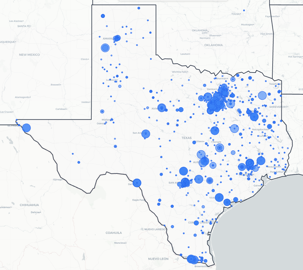
From the Rio Grande Valley to the Panhandle, Texas science teachers are using Kesler Science to save time and engage students.
Texas Schools and Districts
Love Kesler Science
What Teachers Are Saying
Give Your Science Teachers Everything They Need
School and district licenses give your teachers access to every resource they need, including station labs, inquiry labs, anchoring phenomena, presentations, escape rooms, and much more. One purchase covers the grade levels you need.
- PO-friendly. We accept purchase orders
- Volume discounts for 11+ teachers
- Complimentary membership orientation for 4+ teachers
- Three free implementation PD sessions for departments of 11+
- Aligned to the 2024 TEKS standards
See It in Action
Book a walkthrough and we'll show you how Kesler Science fits your campus.
Book Demo CallNo pressure, no hard sell