Weather Maps Activities for Middle School Science
The Kesler Science Weather Maps resources provide a complete, student-led learning experience for middle school students. The resources below will give students a comprehensive understanding of weather maps. All of the following materials are also included in the Kesler Science Membership.
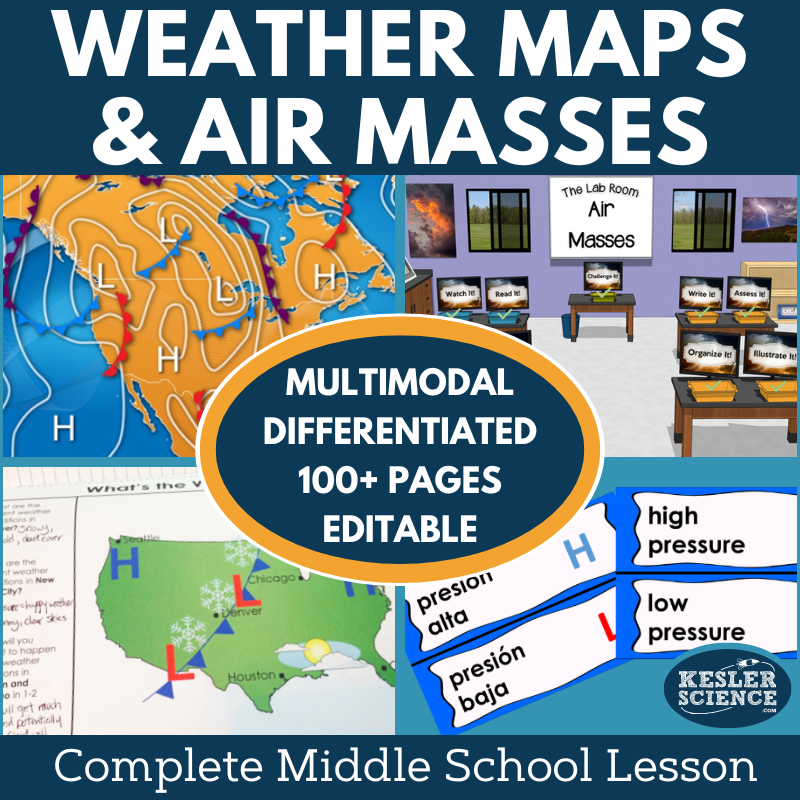
The Kesler Science Weather Maps Complete 5E Lesson provides a comprehensive, student-led learning experience for middle school students studying weather maps, air masses, and air pressure. The lesson is structured around the 5E Model—Engagement, Exploration, Explanation, Elaboration, and Evaluation—ensuring a well-rounded approach that keeps students actively involved. With minimal prep required, teachers can focus on fostering real student success while supporting diverse learning styles.
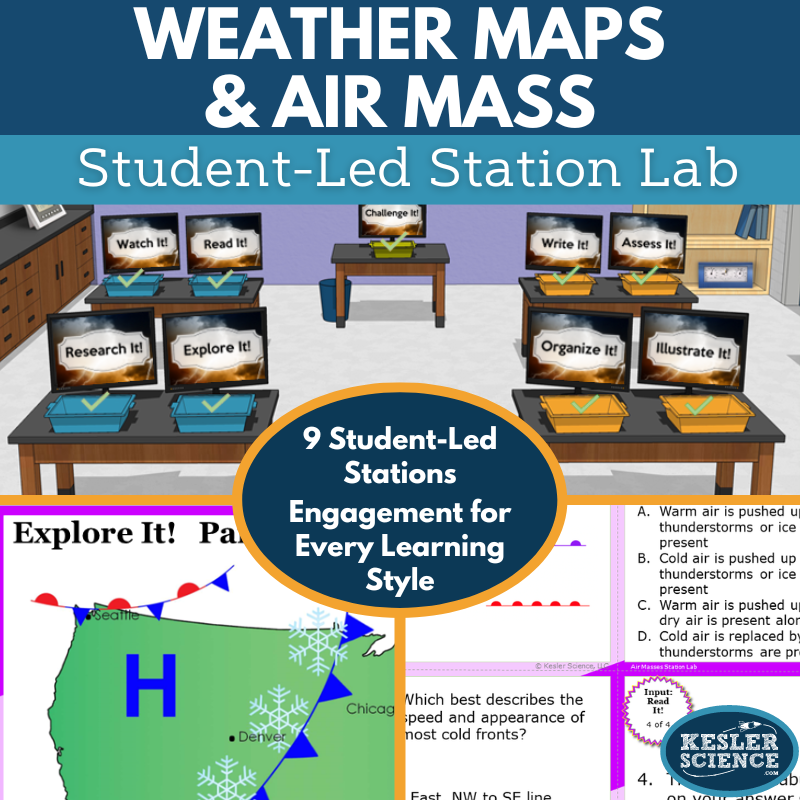
In the Exploration phase, students engage with nine differentiated stations that include hands-on activities, research tasks, readings, and videos. These stations allow students to explore weather maps, air pressure, and fronts through multimodal methods, and demonstrate their understanding through activities like sorting, writing, and drawing. The “Challenge It!” station offers advanced learners additional extension activities for deeper engagement.
The lesson includes editable PowerPoints, interactive notebooks, and assessment tools in both digital and printable formats, with Spanish translations available. Whether used in-person or virtually, this flexible resource ensures that all students can succeed in understanding global and local weather patterns, while teachers have the tools to tailor the lesson to their needs.
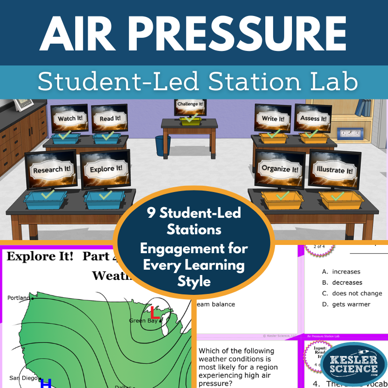
The Kesler Science Air Pressure Station Lab is a modular, student-led activity that helps middle school students explore the impact of atmospheric movements on local weather. Through nine differentiated stations, students will investigate high and low pressures, weather maps, and how global air pressure patterns influence weather. This student-centered approach allows for personalized learning while teachers guide the process.
The stations offer a variety of input and output activities, including hands-on demonstrations, research tasks, readings, and videos. Stations like “Explore It!” and “Research It!” help students apply new concepts, while “Read It!” and “Watch It!” provide additional ways to engage with the content. Output stations like “Organize It!” and “Illustrate It!” allow students to express their understanding through hands-on work and drawings.
A bonus “Challenge It!” station is included for early finishers and advanced learners, with extension activities to deepen their knowledge. This modular lab works seamlessly in both in-person and virtual settings, offering flexible resources like task cards and manipulatives for an engaging, student-driven learning experience.
In this student-led station lab, middle school students explore how global atmospheric patterns affect local weather by analyzing weather maps with high and low pressures and fronts. Designed for both in-class and virtual learning, the lesson offers an engaging, hands-on way for students to guide their own understanding of air masses and fronts through interactive stations. Each of the nine stations supports independent or small-group learning, with a challenge station for advanced learners.
The lab is organized into input and output stations. Input stations include hands-on demonstrations, reading passages with questions, digital research tasks, and short videos. These stations allow students to explore new concepts through multimodal activities. Output stations give students opportunities to demonstrate their learning by organizing information, illustrating models, writing responses, and completing assessments with task cards and vocabulary prompts.
Differentiated materials, including Spanish and English reading passages and both print and digital formats, make this lesson accessible for a variety of learners. With complete signage, task cards, and resources included, this low-prep activity promotes science literacy and critical thinking as students engage in real-world weather applications.
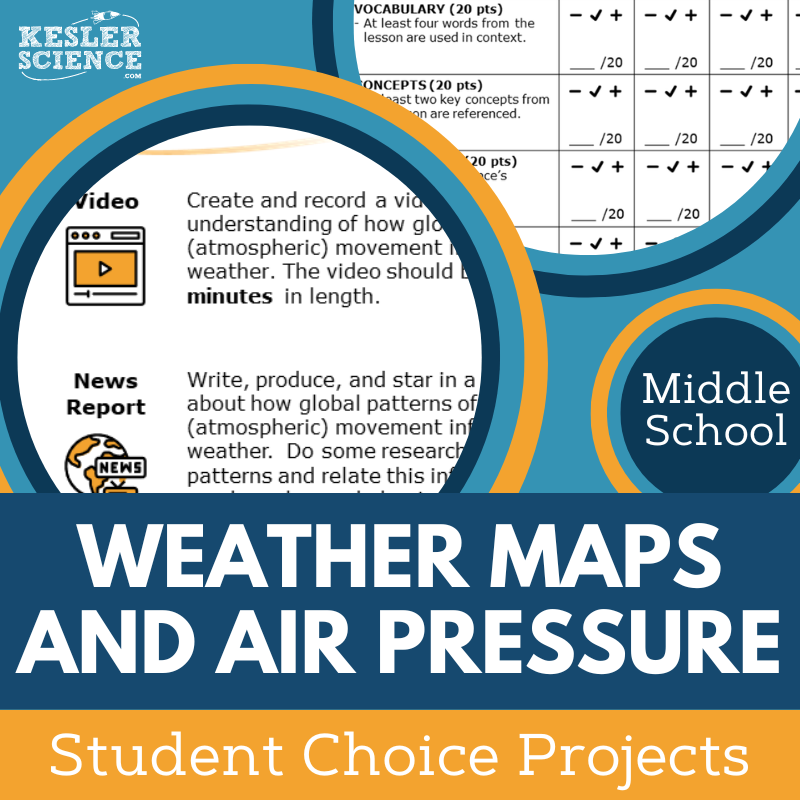
The Kesler Science Weather Maps and Air Pressure Student Choice Projects offer middle school students the opportunity to select a project that suits their learning style. With six project options and a “design your own” option, students can demonstrate their understanding of weather maps and air pressure in creative ways. A grading rubric allows for flexible assessment by teachers, peers, or students themselves, making the projects adaptable for any classroom.
The Student Choice Projects are designed to be dynamic and flexible, with a choice board of nine projects plus the option for students to create their own. The lesson includes editable rubric pages that assess vocabulary, concepts, presentation, clarity, and accuracy. Teachers can easily modify the rubric to meet grading needs and differentiate for various learning levels.
The lesson provides two versions of the project page to meet diverse student needs, with some options specifically aimed at remediation and others offering more challenge. Supplies needed are simple and typical of classroom settings—paper, markers, scissors—and many projects can be completed digitally, though crafting supplies may be helpful for building models.
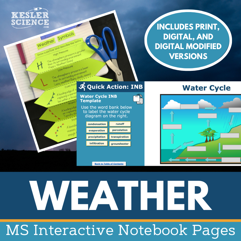
The Kesler Science Weather Interactive Notebook Bundle offers both print and digital versions to enhance student engagement while teaching key weather concepts. Perfect for traditional classrooms, 1:1 settings, or distance learning, this bundle covers important topics such as the atmosphere, catastrophic events, convection currents, hurricane formation, the water cycle, and weather maps.
Digital versions include a customizable PowerPoint file that can be uploaded to Google Slides or integrated into platforms like MS Teams, Schoology, and Canvas. It also features reflection pages, spaces for student notes, and a modified version for students with accommodations, all supported by a teacher answer key.
The paper version includes complete blank templates for the interactive notebook, pre-filled versions for students needing modifications or those who missed class, and color photos that demonstrate how each template is used, making it a versatile tool for teachers and students alike.
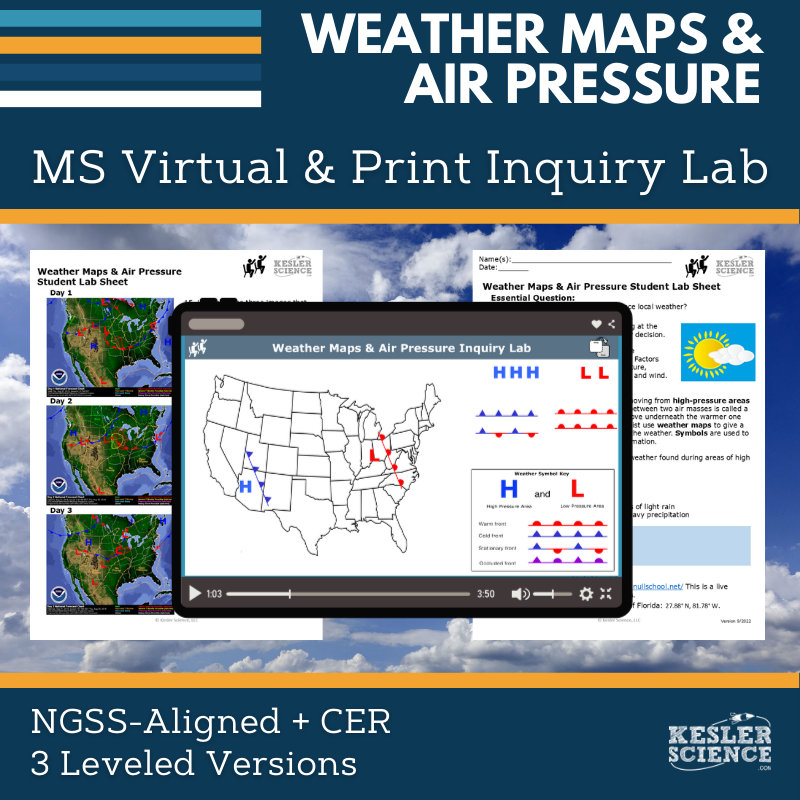
The Weather Maps and Air Pressure Inquiry Lab aligns with NGSS MS-ESS2-5, guiding students to collect and analyze data on air mass interactions and how they influence local weather conditions. Students will examine weather forecasts, identify contributing global and regional factors, and create a weather map to demonstrate their understanding. Both digital and print formats include comprehension questions, C.E.R. prompts, and a reflection section to support critical thinking.
This resource includes three differentiated versions—dependent, modified, and independent—tailored to support learners at varying levels. The dependent version offers guided instructions and inquiry questions, the modified version simplifies content with sentence stems and multiple-choice options, and the independent version encourages student-led exploration with minimal guidance. Each format ensures accessibility and flexibility for different classroom needs.
Teachers receive editable PowerPoints compatible with Google Slides, answer keys, and resource pages to support planning and grading. The print version requires basic classroom supplies like colored pencils and highlighters, while the digital version requires no materials, making it ideal for absent students or remote learning.
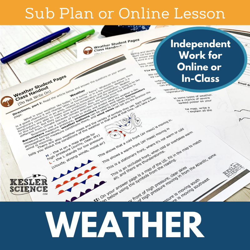
The Kesler Science Weather Sub Plans provide a complete, student-centered lesson that covers weather concepts and weather maps. The lesson starts with a warm-up puzzle, followed by a reading passage where students create their own weather maps and work with weather-related vocabulary. For early finishers, extension activities include creating a wanted poster for a weather condition or reading about El Niño and La Niña.
The sub plan includes comprehensive instructions and support for substitutes, ensuring a smooth day for both the students and the substitute teacher. The lesson is designed to be fully engaging with activities that eliminate downtime, an assessment at the end, and behavior checkpoints throughout. It is perfect for in-person or virtual learning environments.
For distance learning, the lesson includes a student-only PDF and a Google Form for answers, with options for annotation. With editable versions and a digital answer sheet, the resource is flexible for any setting, whether in-class, remote, or as homework or extra credit. This lesson is a seamless and effective solution for substitutes and teachers needing an engaging science activity.
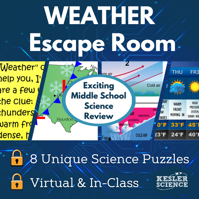
The Kesler Science Weather Escape Room offers an engaging and immersive way for students to demonstrate their knowledge of air masses, weather maps, weather instruments, and high and low air pressure. With eight independent puzzles to choose from, teachers can customize the experience by selecting which puzzles to use and in what order, making it adaptable for both short and long class periods.
This resource includes materials such as printable puzzles, manila envelopes, and optional tools like a lockout hasp and 4-digit locks for a more authentic escape room setup. Teachers have full control of the process, with step-by-step directions and a detailed answer key for each puzzle. There are also online options available, including a digital PowerPoint version for individual students to complete via Google Slides or a printable PDF version for families to use at home.
To enhance the experience, the escape room includes a video challenge to set the mood, over 50 prize ideas, and 30 unique signs for a fun class photo. The resource also features a digital answer sheet for 1:1 or Google Classroom environments and is fully editable to suit your classroom’s needs. Whether in-person or remote, this weather-themed escape room offers a flexible and exciting way to reinforce key concepts.
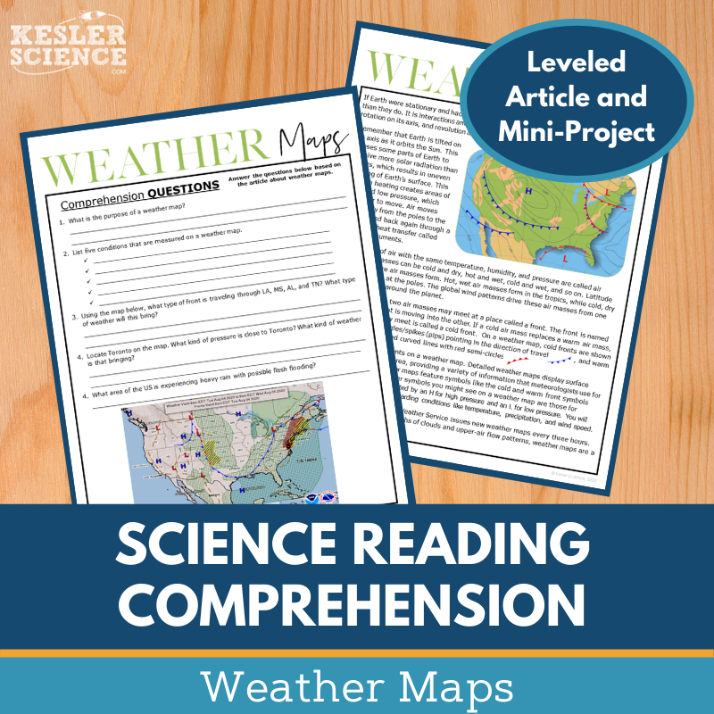
The Kesler Science Weather Maps Reading Comprehension Activity engages middle school students with a nonfiction article about global weather patterns. After reading, students complete comprehension questions and choose from tasks that allow them to role-play as a guest meteorologist or a weather tracker. This interactive format boosts science literacy and reading comprehension through both the article and hands-on activities.
The activity includes two leveled articles (Lexile levels: 1100-1300) to accommodate different reading abilities. Each article comes with 5-7 comprehension questions and a mini-project that helps students apply their learning. A Cornell notes template and colorful graphics are provided to support students' understanding and retention.
This resource is perfect for both in-person and virtual learning environments, offering digital formats compatible with Google Slides, PowerPoint, or any learning management system. It’s great for a variety of uses such as whole-class instruction, differentiation, extra credit, or as a resource for absent students or make-up work.
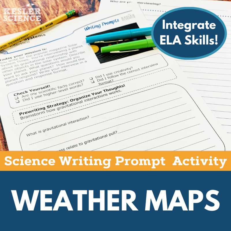
The Kesler Science Weather Maps Writing Prompt Activity allows middle school students to apply their knowledge of weather maps in a creative and engaging way. Using a news event report format, students are tasked with creating a weather report based on the data shown on weather maps. This student-centered activity enhances science reasoning and exploration while also improving writing skills, making it ideal for virtual or in-person learning.
The activity includes teacher directions, rubrics, and resources for both full-sized and half-sized handouts, which can be printed or projected for easy classroom use. Additionally, a digital version is available, allowing students to complete the assignment in Google Slides or PowerPoint for flexibility in remote learning environments.
This versatile prompt can be used for cross-curricular projects, formative assessments, student choice activities, or as an extension for early finishers. It’s also perfect for differentiation, extra credit, or make-up work, providing a comprehensive, low-prep option to extend student learning in any classroom setting.
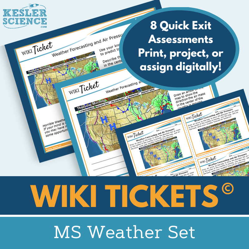
The Kesler Science Weather WIKI Tickets are engaging formative assessments designed for 6th-8th grade science topics, offering flexible options for checking student understanding. The Weather Set includes eight WIKI Tickets, each aligned to NGSS and TEKS standards, with five format choices: a projection version, three handout sizes (full, split, and quarter-page), and a digital version (editable PPT or Google Slides). These assessments provide a fun, interactive way to gauge student learning.
The WIKI Tickets can be used as exit tickets, bellringers, or during lessons to quickly assess students' grasp of concepts such as the water cycle, weather maps, and ocean currents. Each ticket helps reinforce key topics, ensuring that students are meeting learning goals in a creative, low-pressure way. A bonus table of contents file is included for easy reference to ensure standards alignment.
Perfect for both in-person and virtual learning, these assessments allow for seamless integration into various classroom settings. Whether projected in class or completed digitally, WIKI Tickets help educators gauge student progress and adapt instruction to meet their needs.
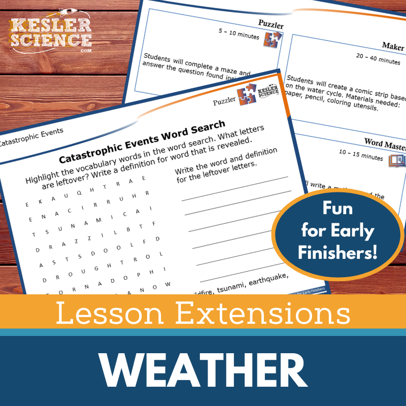
The Kesler Science Lesson Extensions provide engaging, rigorous activities designed to challenge fast finishers and deepen student understanding. These extensions offer a variety of options, including puzzles, hands-on maker space activities, tech connections, and creative writing, all linked to the weather standards of NGSS and TEKS. Whether you're looking to end a lesson or fill gaps during testing, these activities keep students actively learning while promoting critical thinking.
Each extension includes teacher directions, answer keys, and printable or digital versions for easy classroom integration. The diverse formats allow students to work individually or collaborate, fostering creativity and independent learning. The resources are ideal for pushing students who are ready for more advanced learning, encouraging them to explore topics like catastrophic events, hurricane formation, and the water cycle.
Perfect for use with any of the Kesler Science weather lessons, these extensions help reinforce key concepts while offering a fun and meaningful challenge. With options for both digital and paper use, they are a flexible way to scaffold learning and support students’ growth.
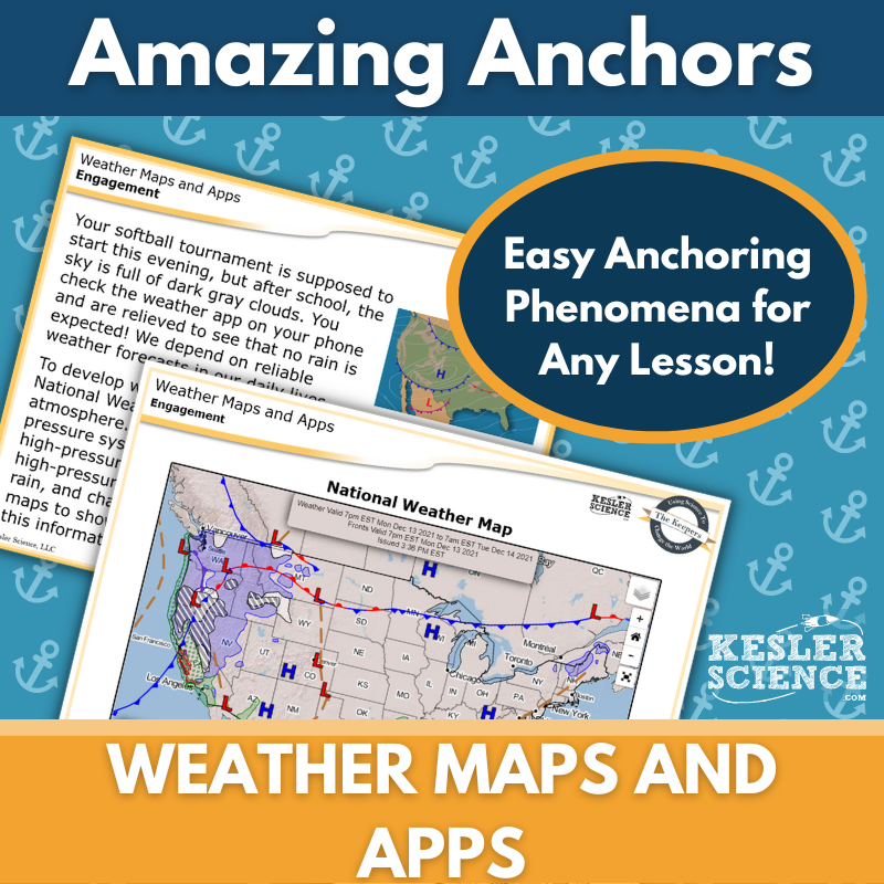
This Amazing Anchors Phenomenon Lesson introduces and reinforces weather patterns through real-world connections. It begins with an engaging reading based on a National Weather Service forecast, prompting students to make observations and predictions. An explanatory reading follows, breaking down the science behind weather patterns and forecasting, with comprehension and extension questions to deepen understanding.
This TEKS-aligned resource includes teacher directions, answer keys, and multiple formats to suit any classroom setting. Materials come in editable versions for both print and digital use, including projection slides, half- and full-sheet handouts, and Google Classroom-compatible files. These tools support easy integration into your lesson planning without extra prep.
Differentiated for student support, the lesson includes both dependent and modified versions to meet varied learning needs. Designed to bookend instruction, the introductory and explanatory readings work well during the Engagement and Elaborate phases of the 5E model, making this a flexible and valuable supplement to any middle school science lesson.
Year-Round Resources
These year-round activities will increase your students' understanding of many middle school science topics. All of these activities are also included in the Kesler Science Membership.
Visual Data & Graphing
You're not alone if your students struggle with understanding graphs, charts, and tables. It's a skill that takes an enormous amount of practice. This resource will help students build a strong foundation in analyzing data and creating their own data visualizations.
Bell Ringers and Warm-Ups
These middle school science bell ringers are an excellent way to engage your students as soon as they walk into your classroom. This comprehensive FULL YEAR resource includes everything you need to start off each science class with an interesting warm-up activity.
Review Board Games
Each game board has been carefully designed to keep students engaged. There are 10 different action spaces on each board and dozens of question cards. All of the actions are related to science concepts and keep the students motivated throughout the game.
Each game is ready to play. Simply print out the board and the cards and let the students enjoy reviewing nine different units.
Essential Questions
Below are the essential questions associated with the lessons and activities included in this unit. This topic is only one of more than 100 middle school science topics included in the Kesler Science Membership.
-
How can you use weather maps to explain global weather patterns and their influence on local weather?
-
How can you interpret high and low pressure areas as well as fronts on a weather map?
Kesler Science Membership
Imagine never having to search for another middle school science lesson again. The membership gives you access to ALL of the Kesler Science products in one place (Yes, including everything above).
Say goodbye to long hours of lesson prep.

