Topographic Maps Activities for Middle School Science
The Kesler Science Topographic Map resources provide middle school students with engaging, hands-on opportunities to explore the features and interpretation of topographic maps. The resources below will give students a comprehensive understanding of topographic maps. All of the following materials are also included in the Kesler Science Membership.
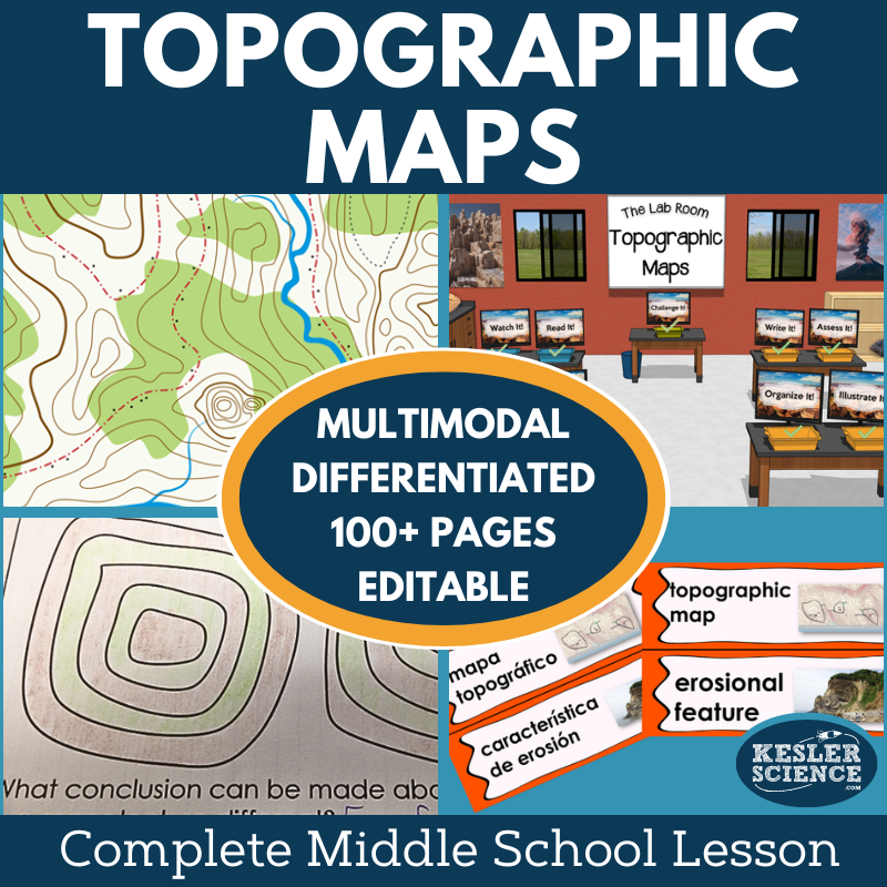
Make lesson planning a breeze with the Kesler Science 5E Topographic Maps Complete 5E Lesson for 6th–8th grade. This comprehensive, multi-day lesson includes everything you need to teach topographic maps with minimal prep and student-led learning. Students explore essential questions like how to interpret topographic maps, identify land and erosional features in satellite views, and predict changes caused by weathering.
This lesson includes differentiated materials for diverse learning needs, multimodal learning to keep students engaged, and flexibility for both printable and digital formats. Editable PowerPoints and Spanish translations of key materials ensure accessibility for all students. The lesson follows the well-researched 5E Model, which includes Engagement, Exploration, Explanation, Elaboration, and Evaluation.
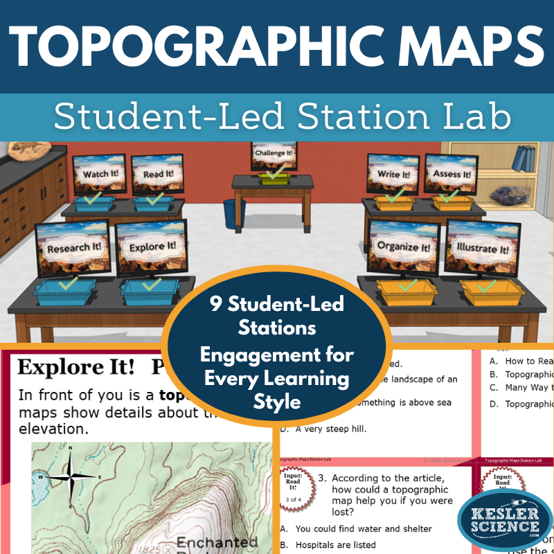
The Exploration phase includes a differentiated station lab with nine stations, offering a variety of ways for students to engage with the content, including hands-on activities, reading passages, research, and videos. The Elaboration section provides student-choice projects to extend learning, and the Evaluation phase includes standards-aligned assessments. This resource is designed for both in-class and virtual learning environments, making it easy to implement in any setting.
Engage your middle school students with this modular, student-led station lab focused on topographic maps. Aligned to earth science standards, this interactive lesson empowers students to interpret topographic maps and satellite views while predicting how landforms can be reshaped by weathering. With minimal prep, the teacher facilitates while students explore the content at their own pace, either independently or in small groups.
The lab includes nine differentiated stations that offer a mix of input and output activities. Students learn new content by exploring hands-on demonstrations, reading passages, completing web-based research, and watching educational videos. Output tasks include organizing information with manipulatives, illustrating maps, writing about topographic features, and answering assessment questions. A bonus challenge station extends learning with engaging games and mini-projects.
Designed for both in-person and virtual learning, all materials are editable and compatible with PowerPoint and Google Slides. English and Spanish reading passages support diverse learners, and the lab easily integrates into your existing earth science curriculum or the full Topographic Map 5E Lesson Plan.
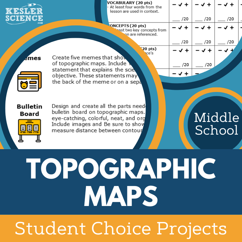
The Kesler Science Topographic Maps Student Choice Projects offer middle school students the opportunity to select a project that aligns with their strengths and interests. With six project options and a “design your own” choice, students have the freedom to demonstrate their knowledge in creative ways. A grading rubric allows for teacher, peer, or self-assessment.
The flexible, multimodal projects cater to diverse learning needs, allowing for differentiation. Teachers can modify the rubric to better fit their grading approach, and there are options to challenge advanced students or support those needing remediation.
Included with the lesson are nine project options, a teacher directions page, and editable rubrics. The projects require basic classroom supplies like paper, markers, and scissors, with many options that can be completed digitally.
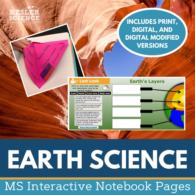
The Kesler Science Earth Science Interactive Notebook Bundle is a must-have for teachers who want to provide an interactive learning experience in earth science. It includes both print and digital versions, making it a versatile resource for traditional classrooms, 1:1 environments, and distance learning.
The bundle covers a wide range of earth science topics, including Continental Drift Theory, plate boundaries, rocks and minerals, the rock cycle, Earth’s layers, volcanoes, earthquakes, and more. It also features activities like Venn diagrams, topographic maps, and reflection pages to help students demonstrate understanding and make connections between concepts.
The digital version includes a unique interactive notebook PowerPoint, which can be uploaded to Google Slides or learning management systems like MS Teams and Canvas. The paper version provides blank and pre-filled templates, along with color photos to guide students in completing each activity. Both versions come with a teacher answer key and a modified version for students with accommodations.
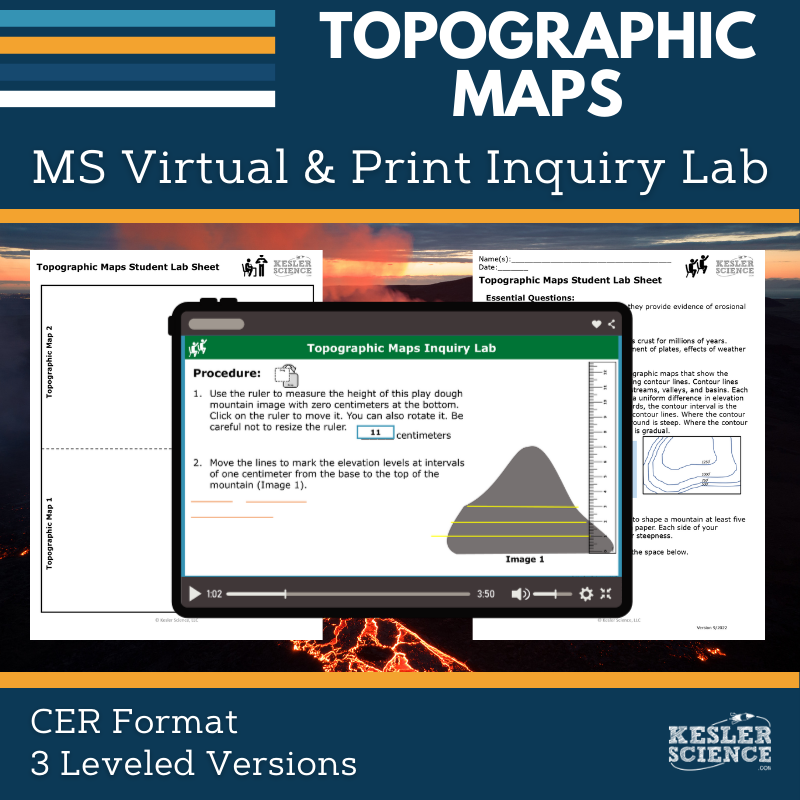
The Topographic Maps Inquiry Lab helps students understand how topographic maps represent landforms and erosional changes. Using playdough or clay, students construct models and learn how contour lines reveal features such as rivers, waterfalls, and runoff. The lab encourages students to analyze how Earth's surface is shaped over time through these processes.
This resource includes both digital and hands-on print formats, with comprehension checks, Claim-Evidence-Reasoning prompts, and reflection questions. Three differentiated versions—dependent, modified, and independent—support learners at all levels by offering varying degrees of structure and inquiry. The digital version is fully interactive and requires no materials, making it ideal for absent students or classrooms without supplies.
Teachers can easily customize editable PowerPoints compatible with Google Slides. The lab includes teacher guides, answer keys, and detailed directions to support implementation. With multimodal learning strategies and flexible formats, this lab creates an engaging and accessible experience for middle school students exploring erosion and landform representation.
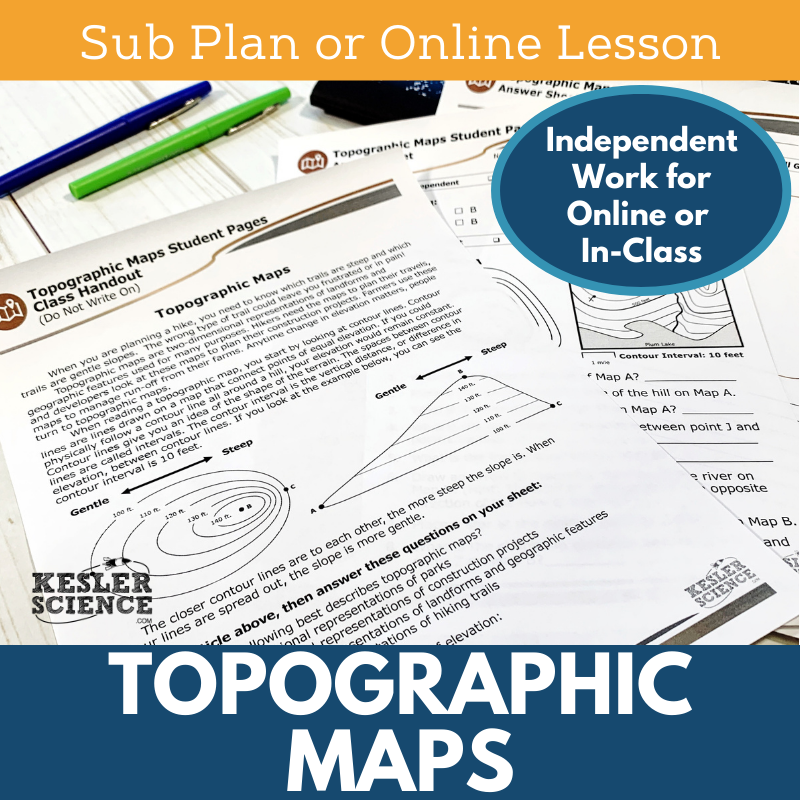
The Kesler Science Topographic Maps lesson guides students through a warm-up, reading passage, independent activity, extension tasks, and an assessment. Students begin with a puzzle, followed by reading a passage and creating their own topographic map. Extensions for early finishers include using a topo map to navigate a hiking trail or designing a brochure to promote a state park.
The lesson includes comprehensive substitute instructions, behavior checkpoints, and a student-friendly activity structure. For distance learning, students can complete the lesson using a Google Form answer sheet or annotate a student PDF, making it adaptable for virtual classrooms or at-home assignments.
Designed for ease of use, the sub plans come with all the necessary materials, including a letter for the sub, answer keys, and editable documents. These plans are ideal for remote learning, substitute teaching, or when students are in ISS, providing engaging, student-centered activities that require minimal preparation.
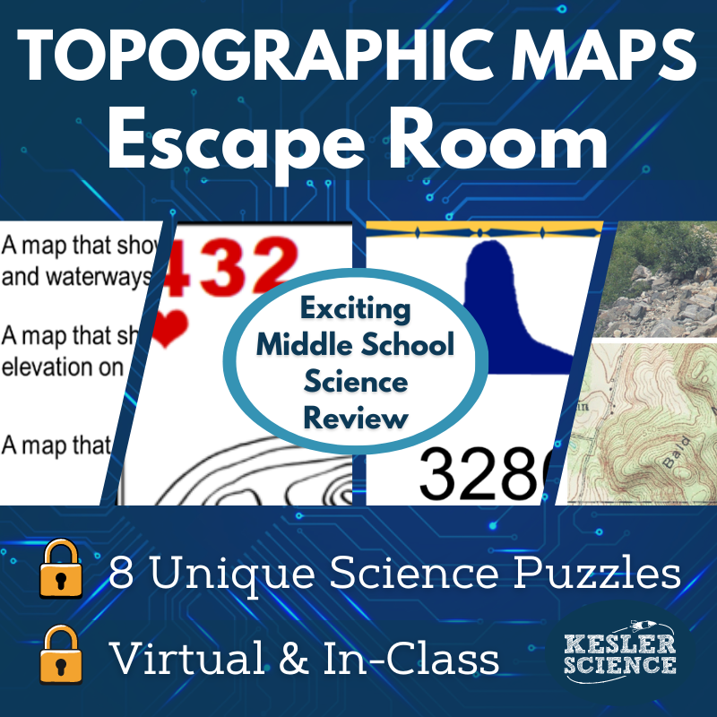
The Kesler Science Topographic Maps Escape Room offers an engaging, immersive experience where students demonstrate their knowledge of elevation, topographic maps, contour lines, and contour intervals. Through solving puzzles, students apply their understanding in a fun, hands-on way.
Unlike traditional escape rooms, this activity gives teachers full control over which puzzles to use and their order, making it adaptable for varying class periods. The activity is designed to work with different materials, such as manila envelopes or more authentic escape room supplies like locks and a storage box.
Included in the resource are detailed teacher instructions, answer keys (both printed and digital), printable props, a video challenge, and a list of over 50 prize ideas. The product also provides editable reward templates and 30 unique signs for a fun photo opportunity at the end.
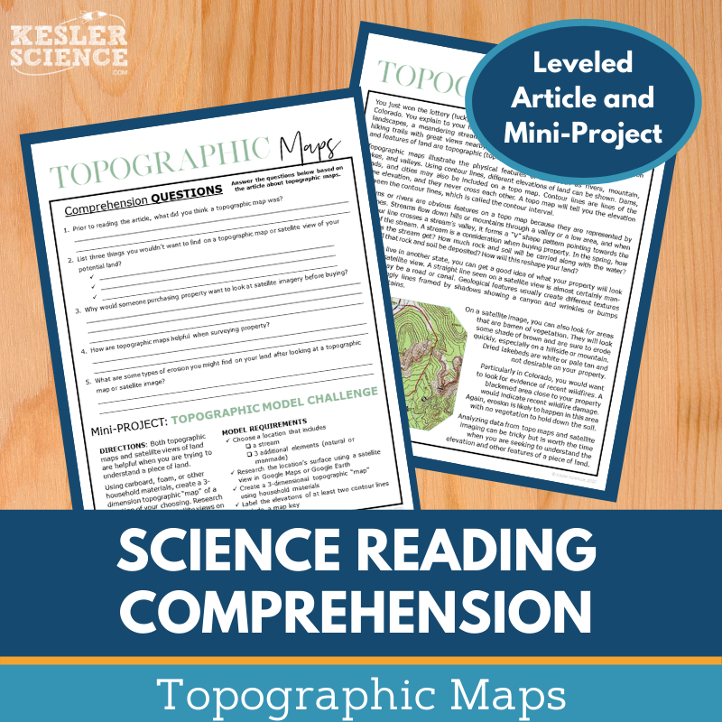
In this Kesler Science Topographic Maps reading comprehension activity, students explore topographic maps by reading a nonfiction article that teaches them to use maps and satellite views to identify land features and predict how weathering reshapes these features. They then complete comprehension questions and create their own topographic map of a location, applying what they’ve learned in a hands-on mini-project.
The reading activities are designed to engage middle school students in building both their reading comprehension and science literacy. With leveled passages ranging from Lexile levels 1100-1300, students can access content at their appropriate level, and the hands-on project allows for deeper understanding.
This resource is flexible and suitable for both in-class and virtual learning environments. Teachers can use it to support routine assignments, extra credit, or as a tool for remote learners through platforms like Google Classroom or MS Teams. The article provides opportunities for classroom discussions and builds students’ skills in textual analysis and science comprehension.
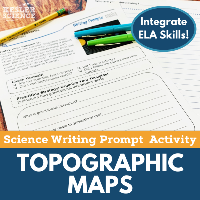
The Kesler Science Topographic Maps Science Writing Prompts help middle school students creatively apply their knowledge of earth science by using interviews to explore the topic of topographic maps. Students engage in fun, student-centered writing exercises that deepen their understanding of topography and land features. Designed for both in-class and virtual learning, these activities support students even outside the classroom.
Standards-aligned, the activity challenges students to interpret topographic maps and predict how weathering can reshape land features. With differentiated materials, the activity can serve as a pre-test, elaboration task, or project for student choice, and is perfect for review or extension.
Included in the purchase are teacher directions, rubric options, printable handouts, and digital versions for easy use in virtual classrooms. The resources are versatile and can be applied to a variety of settings, helping students expand their science reasoning and writing skills while engaging with topographic map concepts.
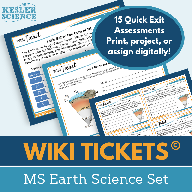
The Kesler Science Earth Science WIKI Tickets provide formative assessments for 6th-8th grade science topics, offering flexible options to check students' understanding in an engaging format. Each topic includes five versions: a full-screen projection version, three handout sizes (full, split, and quarter-page), and an interactive digital version for Google Slides or PowerPoint.
The Earth Science WIKI Tickets cover a wide range of earth science topics, including minerals, plate tectonics, the rock cycle, and human impact on the environment. Some topics have more than one ticket, but every topic is covered by at least one.
The WIKI Tickets can be used in both in-person and virtual learning environments. They work great as exit tickets, bellringers, or informal assessments during lessons. Teachers can project them, use printable handouts, or assign them digitally for remote students, making them adaptable for any teaching situation.
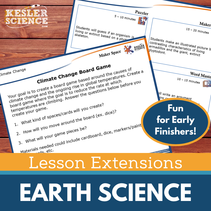
The Kesler Science Earth Science Lesson Extensions offer engaging activities for fast finishers, fostering critical thinking and creativity. These extensions are designed to scaffold learning for students ready to dive deeper into earth science topics while aligning with NGSS and TEKS standards. They provide a fun yet rigorous way to enhance lessons and keep students focused during independent work or testing.
Each Lesson Extension includes four core activities: a Puzzler to improve problem-solving, a Maker Space to promote STEAM connections, a Tech Connection to demonstrate learning through digital media, and a Word Master activity to integrate creative writing. These activities ensure students engage with the content in a variety of ways, helping reinforce their understanding.
The Lesson Extensions come with teacher directions, answer keys, and both paper and digital versions for flexibility. Perfect for wrapping up lessons or providing enrichment, these extensions cover a wide range of earth science topics like climate change, fossil fuels, and plate tectonics, all while meeting high-level science standards.
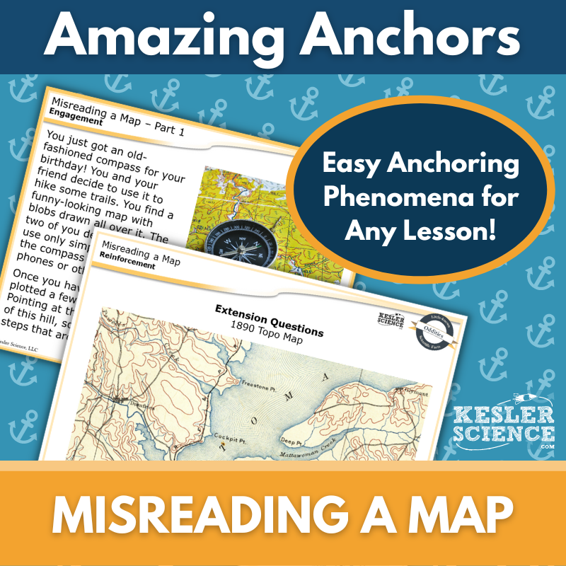
This Amazing Anchors Phenomenon Lesson introduces and reinforces the concept of topographic maps through real-world connections. Students begin with an introductory reading centered around using a compass and map, followed by comprehension and extension questions to spark curiosity and set the stage for deeper learning. A second reading breaks down the science of topographic maps in a clear, accessible way, with follow-up questions to solidify understanding.
This no-prep, TEKS-aligned resource includes everything needed for seamless classroom integration. Materials come in editable print and digital formats, with full- and half-page handouts, projection slides, teacher directions, and answer keys. A differentiated version supports all learners with sentence starters and simplified language to assist in comprehension.
Designed to bookend a main science lesson, these phenomenon-based readings are ideal for the Engagement and Elaborate phases of the 5E Model. Whether used in person or digitally, this lesson helps students connect scientific concepts to real-world applications through engaging, scaffolded activities.
Year-Round Resources
These year-round activities will increase your students' understanding of many middle school science topics. All of these activities are also included in the Kesler Science Membership.
Visual Data & Graphing
You're not alone if your students struggle with understanding graphs, charts, and tables. It's a skill that takes an enormous amount of practice. This resource will help students build a strong foundation in analyzing data and creating their own data visualizations.
Bell Ringers and Warm-Ups
These middle school science bell ringers are an excellent way to engage your students as soon as they walk into your classroom. This comprehensive FULL YEAR resource includes everything you need to start off each science class with an interesting warm-up activity.
Review Board Games
Each game board has been carefully designed to keep students engaged. There are 10 different action spaces on each board and dozens of question cards. All of the actions are related to science concepts and keep the students motivated throughout the game.
Each game is ready to play. Simply print out the board and the cards and let the students enjoy reviewing nine different units.
Essential Questions
Below are the essential questions associated with the lessons and activities included in this unit. This topic is only one of more than 100 middle school science topics included in the Kesler Science Membership.
-
How are topographic maps interpreted?
-
How do satellite vies identify land and erosional features?
-
How can changes caused by weathering be predicted?
Kesler Science Membership
Imagine never having to search for another middle school science lesson again. The membership gives you access to ALL of the Kesler Science products in one place (Yes, including everything above).
Say goodbye to long hours of lesson prep.

